Our first plot shows the elevation pattern in both the broadside (white trace) and end fire (yellow trace) directions for a height of 4 wavelengths, or 560 feet. Note the substantial high angle radiation in all directions, in addition to the excellent low angle lobes.
This plot shows the elevation patterns at a height of 2 wavelengths, or 280 feet.
White trace is broadside. Yellow trace is axial (off the ends).
Still Lots of high angle radiation.
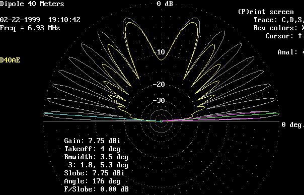
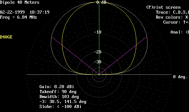
This plot shows the elevation patterns at a height of 1 wavelength, or 140 feet.
White trace is broadside. Yellow trace is axial (off the ends).
The secondary lobe is down to 47 degrees, but the primary lobe is up to 14 degrees.
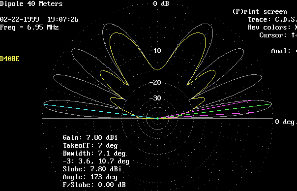
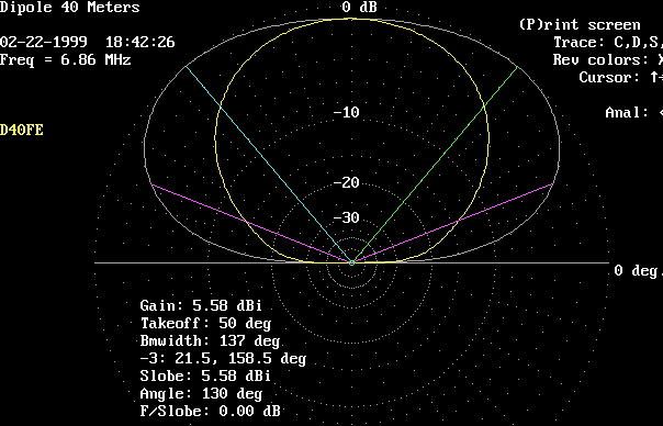
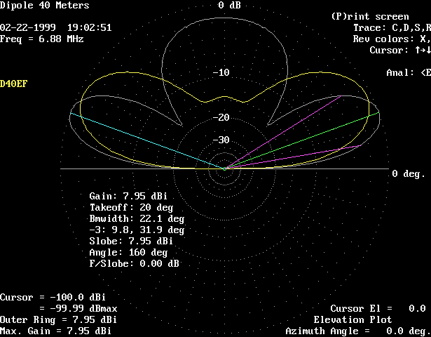
This plot shows the elevation patterns at a height of 0.7 wavelength, or 98 feet.
White trace is broadside. Yellow trace is axial (off the ends).
The primary lobe is up to 20 degrees.
Note the large vertical lobe which has appeared!
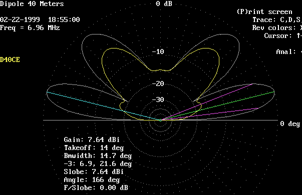
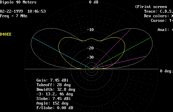
This plot shows the elevation patterns at a height of 1/2 wavelength, or 70 feet.
White trace is broadside. Yellow trace is axial (off the ends).
Now that's a classical dipole pattern!
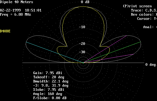
This plot shows the elevation patterns at a height of 0.3 wavelength, or 42 feet.
White trace is broadside. Yellow trace is axial (off the ends).
We are entering the "skywarmer" mode here.
This plot shows the elevation patterns at a height of 0.1 wavelength, or 14 feet.
White trace is broadside. Yellow trace is axial (off the ends).
This plot shows comparative elevation patterns, in the broadside direction only,
White trace is for 2 wavelengths, 280 feet.
Yellow trace is for 1 wavelengths, 140 feet.
This plot shows comparative elevation patterns, in the broadside direction only.
White trace is for 0.7 wavelengths, 98 feet.
Yellow trace is for 0.5 wavelengths, 70 feet.
This plot shows comparative elevation patterns, in the broadside direction only.
White trace is for 0.5 wavelengths, 70 feet.
Yellow trace is for 0.3 wavelengths, 42 feet.
Pink trace is for 0.1 wavelengths, 14 feet.
as a service to the Amateur Radio community.
Please distribute freely.
The author welcomes any questions, criticisms, or compliments via email.
email Mike with comments or questions.
No comments:
Post a Comment